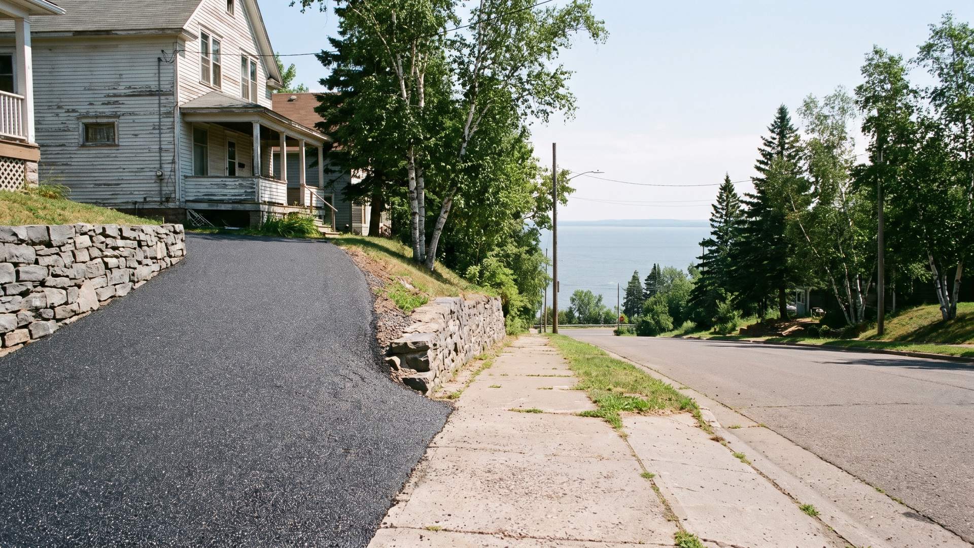
Under the hillside is rock. The city is built on the Duluth Complex, a body of gabbro that formed in the Midcontinent Rift and is described as a sill roughly 16 kilometers thick. Accounts of the June 2012 flood blame the city's 'rocky sediments, hard soil, and 44 streams and creeks' for how badly it handled nine inches of rain in 30 hours. USDA soil series mapped on bedrock-controlled ground in St. Louis County, such as Barto and Mesaba, reach basalt, granite or gabbro within 20 to 102 centimeters. For a driveway that can mean a thin base, water sliding along the rock instead of soaking in, and a change in support where pavement crosses from rock onto fill.
Lake Superior, about 600 feet above sea level and 1,333 feet deep at its deepest, acts as the region's thermostat. Summer forecasts in the city often say 'cooler by the lake,' and winter storms with easterly or northeasterly winds can push lake moisture up the slope as upslope lake-effect snow of a foot or more. Elevation and distance from the water split the numbers sharply. NOAA normals give 86.1 inches of snow a year at the hilltop airport against 56.2 inches at the Superior station across the bay, and a median frost-free season of 131 days on the ridge against 148 in Superior.
The housing is old. An ACS-based profile from NeighborhoodScout puts 42.8 percent of the city's homes at 1939 or earlier, 25.2 percent at 1940 through 1969, and only 12.3 percent at 2000 or newer, with detached single-family houses making up 59.6 percent of units. The 2020 census counted 86,697 residents and 39,762 housing units, well below the 1960 peak of 107,884. Old houses usually mean driveways that have been widened, patched or overlaid more than once, and every one of those seams, especially where asphalt meets an older slab or a concrete apron, is a place for meltwater to get in.
Winter operations shape the pavement too. The city clears more than 530 miles of roadway, aiming to finish main arterials within 36 hours after a snowfall ends, open residential streets to one lane within 48 hours and reach alleys within 56. Its salt guidance, published through the DuluthStreams program, runs from 200 to 400 pounds per two-lane mile when the pavement is above 30 degrees up to 1,200 to 1,500 pounds for dry snow below 15, with a half-salt, half-sand blend and plain sand in designated hazard areas. The city's stormwater guidance asks residents to sweep road sand each spring, which is also the first step of any seal coat.
Several local rules reach the driveway itself. A new or changed apron in the right-of-way needs City Engineering approval and an excavation permit under Section 45-14, and the city's detail calls for 7 inches of concrete on a 12-inch gravel base, no more than a 10 percent slope from gutter to sidewalk, and a residential width of 12 to 22 feet. It is illegal to shovel snow into streets and alleys, sidewalks must be cleared within 24 hours after snow stops, and odd-even alternate side parking changes over on Sunday evenings from 4 to 8 p.m. Minnesota Statute 116.202 bars both selling and applying coal-tar sealant on asphalt, with the use ban in force since January 1, 2014.
Water is the last regulator. The city's stormwater system counts 415 miles of pipe, about 3,000 culverts and 11,204 catch basins feeding 44 named streams, 16 of them designated trout streams, and the storm utility fee is based on impervious surface, a definition that names driveways. DuluthStreams puts the chronic chloride threshold for fish at 230 milligrams per liter and recorded Chester Creek conductivity jumping from a baseline near 300 to about 1,600 when salt runoff arrived after an early-winter snow. A tight, well-drained driveway sheds water cleanly; a broken one sends grit and loose binder into the same gutters.